
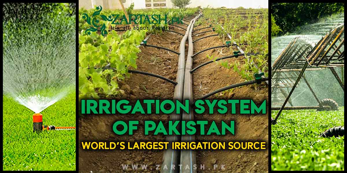
Pakistan has the world’s largest irrigation system. The Indus Basin Irrigation System waters about 18 million hectares of farmland through 3 major reservoirs, 19 barrages, 12 link canals and more than 120,000 watercourses.
Irrigation is the artificial supply of water to crops through channels, and in Pakistan almost the entire agricultural economy runs on it. About 80 percent of cropped area is irrigated rather than rain fed, and irrigated land produces roughly 90 percent of agricultural output. This article sets out the sources of irrigation water in Pakistan, the structure of the Indus Basin Irrigation System, the Indus Waters Treaty that shaped it, and the problems that now cost the system close to half the water it carries.
Which Country Has the Largest Irrigation System in the World?
Pakistan has the largest irrigation system in the world. The Indus Basin Irrigation System is the world’s largest contiguous irrigation network, meaning it is a single connected system rather than a national total assembled from separate schemes.
Scale is what earns the title. The system commands about 18 million hectares, equal to more than 45 million acres, and moves water through roughly 59,000 kilometres of canals before it reaches farm level. India irrigates a larger total area across the country, but not through one connected network, which is why the contiguous qualifier appears in most technical descriptions.
Indus Basin Irrigation System
The Indus Basin Irrigation System, usually shortened to IBIS, is the network of reservoirs, barrages, link canals and distributaries that carries water from the Indus and its tributaries to farmland across Punjab, Sindh, Khyber Pakhtunkhwa and eastern Balochistan. The table below gives the system at a glance.
| Component | Number or extent |
|---|---|
| Major storage reservoirs | 3 (Tarbela and Chashma on the Indus, Mangla on the Jhelum) |
| Barrages and headworks | 19 |
| Inter river link canals | 12 |
| Canal commands | About 45 |
| Total canal length | About 59,000 kilometres |
| Watercourses | More than 120,000 |
| Area commanded | About 18 million hectares (45 million acres) |
| Average annual Indus flow | About 146 MAF, of which about 106 MAF enters the canals |
Counts differ between sources depending on what is included. The Sindh Irrigation Department country report gives 19 barrages and about 45 canal commands, while some technical papers count 16 barrages, 44 command canals and 4 reservoirs by adding Warsak on the Kabul River. The 107,000 figure that appears on many pages is the length of watercourses in kilometres, not their number.
Water moves through the system in four stages. Reservoirs store the summer flood, barrages raise the river level and divert it, link canals move water sideways between rivers to compensate for the eastern rivers lost in 1960, and main canals feed distributaries and minors that end in the watercourses serving individual farms.
Resources of Irrigation System in Pakistan
The two primary sources of water in Pakistan are surface water and groundwater. Surface water carries the larger volume, but groundwater now supplies over half the water actually applied at farm gate.
Surface Water Resources
The Indus River is the principal supply of surface water in Pakistan, joined by the Jhelum, Chenab, Ravi and Sutlej, with the Kabul and Kurram entering from Afghanistan. The Indus, Jhelum and Chenab together deliver about 165 billion cubic metres a year, while the Ravi and Sutlej now contribute about 10 billion cubic metres because their upstream flow was allocated to India.
Flow is highly seasonal. Snowmelt and monsoon rain concentrate most of the annual volume into June, July and August, so storage in dams in Pakistan is what converts a summer flood into a year round supply.
Ground Water Resources
Groundwater supplies over 50 percent of agricultural water in Pakistan and is pumped by more than a million private tubewells across the Indus plain. Recharge comes from canal seepage, river flow and rainfall, which means the aquifer is largely a by product of the canal system rather than an independent resource.
Unregulated pumping has produced falling water tables and dried up wells in parts of Punjab, according to the World Bank. Quality is the second problem: irrigation adds about 16 million tonnes of salt to the Indus basin every year, and up to 43 percent of the irrigated area is affected.
What are the Main Sources of Irrigation in Pakistan?
The main sources of irrigation in Pakistan are canals, rivers, dams, barrages, tubewells and traditional methods such as karez and sailaba. Canals carry the largest share, delivering water to about 45 million acres.
- Canals are the dominant source and distribute stored and diverted river water across the four provinces.
- Rivers feed the canals directly through barrages and supply riverine flood irrigation along their banks.
- Dams store the summer surplus for release in the winter rabi season, the role played by Tarbela Dam on the Indus.
- Barrages and headworks raise the river level so that water can be diverted into canal commands.
- Tubewells pump groundwater and now supply more than half the water applied at farm level.
- Karez are underground tunnel channels used in Balochistan to move mountain groundwater by gravity.
- Sailaba and rod kohi divert hill torrents onto fields in Balochistan and Dera Ismail Khan after storms.
About 80 percent of cropped area in Pakistan is irrigated and only 20 percent is rain fed, and rainfall in the barani districts is too unreliable to support cropping on its own.
Importance of Rivers in Pakistan’s Irrigation System
The Indus River is the backbone of irrigation in Pakistan and the source from which every major canal ultimately draws. The Indus basin covers about 520,000 square kilometres inside Pakistan and drains a further area across India, Afghanistan and China.
Five tributaries define the eastern side of the basin: the Jhelum, Chenab, Ravi, Sutlej and Beas. The Kabul and Kurram enter from Afghanistan in the northwest. Average annual flow in the Indus system is about 146 million acre feet, of which about 106 MAF is diverted into the canals and the remainder is lost to evaporation, seepage or discharged to the Arabian Sea.
Brief History of Pakistan’s Irrigation System
Canal irrigation in the Indus plain began under British administration in the 1880s, not in 1947. The canal colonies of west Punjab converted arid doab land into irrigated farmland over the following fifty years and produced the network Pakistan inherited at independence.
Partition in 1947 cut that network in two. The headworks at Madhopur on the Ravi and Ferozepur on the Sutlej fell inside India while the canals they fed ran into Pakistan, and India stopped supplies to those canals on 1 April 1948. The dispute took twelve years to settle.
Indus Waters Treaty
The Indus Waters Treaty was signed on 19 September 1960 in Karachi, brokered by the World Bank. India received the three eastern rivers, the Ravi, Beas and Sutlej, and Pakistan received the three western rivers, the Indus, Jhelum and Chenab. India retains limited non consumptive rights on the western rivers, including run of river hydropower.
Replacing the eastern river supplies required the Indus Basin Project: two storage dams at Mangla, completed in 1967, and Tarbela, completed in 1976, plus eight link canals and five barrages that move western river water east across the Punjab doabs. Those link canals are why the system has 12 inter river connections rather than a simple parallel set of canals.
The treaty survived the wars of 1965 and 1971. Its current status is contested. India announced on 23 April 2025 that it was holding the treaty in abeyance and has since reaffirmed that position, and Pakistan maintains that the treaty contains no provision for unilateral suspension. A Court of Arbitration award issued in May 2026 on storage at Indian hydropower projects was rejected by India as null and void.
Challenges and Issues in Pakistan’s Irrigation System
The Indus Basin Irrigation System loses close to half the water entering it before that water reaches a crop root. Six problems account for most of the loss and most of the damage.
Water Losses in Canals and Watercourses
About 40 percent of the water diverted from the Indus is lost while flowing through watercourses. Field measurements in Bhakkar, Bahawalpur and Moro recorded conveyance losses of 40 to 51 percent, and comparisons between lined and unlined channels found losses of 35 to 52 percent in lined watercourses against 64 to 68 percent in unlined ones. Canal lining reduces the loss but does not remove it.
Waterlogging and Salinity
Waterlogging and salinity affect about 6 million hectares, which is 35 to 40 percent of the irrigated area, and have reduced the production potential of the Indus basin by about 25 percent. Seepage from unlined canals raises the water table until salts reach the root zone, and high evaporation in Punjab and Sindh concentrates them at the surface.
Low Water Storage Capacity
Pakistan can store only about 30 days of water against an international benchmark of 120 days. National live storage has fallen from 16.26 MAF in 1976 to about 13.68 MAF as sediment fills the reservoirs, and Tarbela alone has lost between a third and 40 percent of its original live capacity of 9.68 MAF.
Flood Irrigation and Low Efficiency
Most farms still use basin and furrow flood irrigation, which applies far more water than a crop can absorb. Drip and sprinkler systems cover a negligible share of cropped area, so gains at field level remain small even where canal conveyance is improved.
Water Theft and Distribution Disputes
Illegal outlets, tampered moghas and unauthorised pumping remove water from canals ahead of the tail end farmers entitled to it, and the warabandi rotation that governs turns is widely breached. Provincial disputes over apportionment persist under the 1991 Water Apportionment Accord, and the Kalabagh Dam project has been blocked since the 1980s because Sindh and Khyber Pakhtunkhwa oppose it while Punjab supports it.
Insufficient Cost Recovery
Abiana, the water charge levied on irrigators, does not cover operation and maintenance. Provincial irrigation departments therefore defer desilting, lining and structure repair, which increases losses and pushes more farmers onto groundwater. Underpricing is the reason the system degrades faster than it is rehabilitated.
Frequently Asked Questions About Pakistan’s Irrigation System
Which country has the largest irrigation system in the world?
Pakistan. The Indus Basin Irrigation System is the world’s largest contiguous irrigation network, commanding about 18 million hectares through 3 reservoirs, 19 barrages, 12 link canals and more than 120,000 watercourses.
How much of Pakistan’s agriculture depends on irrigation?
About 80 percent of Pakistan’s cropped area is irrigated rather than rain fed, and irrigated land produces roughly 90 percent of agricultural output. Only about 20 percent of cropping depends on rainfall.
How many barrages are there in Pakistan?
Pakistan has 19 barrages and headworks in the Indus Basin Irrigation System, according to the Sindh Irrigation Department country report. Some technical papers count 16 by excluding smaller headworks.
What percentage of water is lost in Pakistan’s irrigation system?
About 40 percent of diverted water is lost in the watercourses. Measured conveyance losses range from 35 to 52 percent in lined channels and 64 to 68 percent in unlined ones.
What is the Indus Waters Treaty?
The Indus Waters Treaty, signed on 19 September 1960, gave India the Ravi, Beas and Sutlej and gave Pakistan the Indus, Jhelum and Chenab. India declared the treaty in abeyance in April 2025.
Last Thoughts on the Irrigation System of Pakistan
The Indus Basin Irrigation System earned its title as the world’s largest contiguous irrigation network through nineteenth century canal engineering and the replacement works built after 1960. That scale is still real, and so is the dependence: Pakistan is an agricultural country in which four fifths of cropped land and nine tenths of farm output rest on canal water.
The problem is no longer building the network but keeping water inside it. Roughly 40 percent is lost in conveyance, 6 million hectares carry waterlogging or salinity, and storage has slipped to 30 days of carryover as silt fills Tarbela and Mangla. Lining watercourses, metering groundwater, charging abiana that covers maintenance, and completing the storage projects upstream address different parts of the same shortfall, and none of them works alone.
