
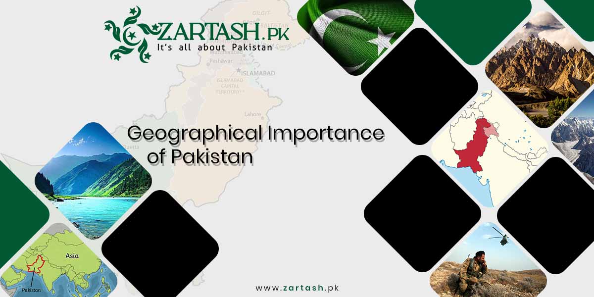
The geographical importance of Pakistan comes from its position at the junction of South Asia, Central Asia, and the Middle East. Pakistan shares 7,257 km of land borders with India, Afghanistan, Iran, and China, and holds a 1,046 km coastline on the Arabian Sea, as listed in the CIA World Factbook. This location places Pakistan on the shortest overland routes between western China, the landlocked Central Asian republics, and the warm-water ports of the Indian Ocean.
This article explains the location and international boundaries of Pakistan, the three geographic regions, the Indus River system, the geo-strategic value of the China Pakistan Economic Corridor (CPEC) and Gwadar Port, and the four climate zones. Population figures follow the 2023 digital census, and border figures follow current official sources as of 2026. The article also answers the most searched questions about the geography of Pakistan in a short FAQ section.
10 Key Points About Pakistan’s Geography
The 10 key points about Pakistan’s geography are listed below.
- Location: Pakistan connects South Asia with Central Asia and the Middle East and borders four countries: India, Afghanistan, Iran, and China.
- Area: Pakistan covers 796,095 square kilometers, excluding Gilgit-Baltistan and Azad Jammu and Kashmir.
- Population: The 2023 digital census recorded 241.49 million people in the four provinces and Islamabad, with a 2.55 percent annual growth rate.
- Borders: The land borders total 7,257 km: Afghanistan 2,670 km, India 3,190 km, Iran 959 km, and China 438 km, per the CIA World Factbook.
- Coastline: The Arabian Sea coastline runs 1,046 km and hosts the ports of Karachi, Port Qasim, and Gwadar.
- Mountains: Pakistan holds 5 of the world’s 14 peaks above 8,000 meters, led by K2 at 8,611 meters, the second highest mountain on Earth.
- Rivers: The Indus River flows about 3,200 km from the Tibetan Plateau to the Arabian Sea and supports most of Pakistan’s agriculture.
- Regions: Three geographic regions divide the country: the Northern Highlands, the Indus River Plain, and the Balochistan Plateau.
- Trade corridors: CPEC links Gwadar Port with Kashgar in western China, with a project value of 62 billion US dollars as of 2020.
- Strategic status: Pakistan is the only nuclear-armed Muslim-majority country and lies close to the Strait of Hormuz energy shipping lanes.
Where Is Pakistan Located?
Pakistan is a South Asian country located between roughly 24 and 37 degrees north latitude and 61 and 78 degrees east longitude. India lies to the east, Afghanistan to the northwest, Iran to the southwest, China to the northeast, and the Arabian Sea to the south. This position makes Pakistan the land bridge between the Indian subcontinent and the energy-rich regions of Central Asia and the Persian Gulf.
The total area of Pakistan is 796,095 square kilometers. The figure rises to about 881,913 square kilometers when Gilgit-Baltistan and Azad Jammu and Kashmir are included. The country consists of four provinces, Punjab, Sindh, Khyber Pakhtunkhwa, and Balochistan, plus the Islamabad Capital Territory. The provinces of Pakistan differ sharply in terrain, from the irrigated plains of Punjab to the dry plateau of Balochistan.
According to the Pakistan Bureau of Statistics 2023 census press release, the population of the four provinces and Islamabad stands at 241.49 million, and the total reaches 247.54 million when Gilgit-Baltistan and Azad Jammu and Kashmir are counted. The annual growth rate is 2.55 percent. Detailed demographic data appears in the separate article on the population of Pakistan.
International Boundaries of Pakistan
Pakistan shares land borders with four countries and a sea boundary on the Arabian Sea. The border lengths in the table below follow the CIA World Factbook. Survey of Pakistan figures differ slightly, listing 2,611 km for Afghanistan, 599 km for China, and 909 km for Iran, so sources vary by measurement method.
| Border | Boundary Name | Length |
|---|---|---|
| Afghanistan | Durand Line | 2,670 km |
| India | Radcliffe Line and Line of Control | 3,190 km |
| Iran | Goldsmid Line | 959 km |
| China | Sino-Pakistan border | 438 km |
| Arabian Sea | Coastline | 1,046 km |
Pakistan and Afghanistan
The border between Pakistan and Afghanistan is the Durand Line. The Durand Line was drawn in November 1893 under an agreement signed in Kabul by Sir Henry Mortimer Durand, the Foreign Secretary of British India, and Amir Abdur Rahman Khan of Afghanistan. The line stretches about 2,640 km from the Chitral region in the north to Balochistan in the south. Afghanistan has never formally recognized the Durand Line, which keeps the boundary politically sensitive.
The most famous gateway on this border is the Khyber Pass, about 40 km west of Peshawar on the historic route to Kabul. The Torkham crossing at the pass handles most of the overland trade between the two countries, and landlocked Afghanistan depends on Pakistani ports for a large share of its transit cargo.
Pakistan and India
The eastern border of Pakistan follows the Radcliffe Line, announced on 17 August 1947 at the partition of British India. Sir Cyril Radcliffe chaired the boundary commissions for Punjab and Bengal and gave the line its name. In the northern sector, the Line of Control separates Pakistani-administered and Indian-administered Kashmir, so the total boundary of 3,190 km combines the Radcliffe Line, the working boundary, and the Line of Control.
The Wagah border, between Lahore in Pakistan and Amritsar in India, is the only regular road crossing between the two countries. Despite the length of this border, trade across the Pakistan and India boundary remains far below its potential because of the unresolved Kashmir dispute.
Pakistan and China
Pakistan shares its northeastern border with China. The CIA World Factbook lists this border at 438 km, while the Survey of Pakistan lists 599 km. The two countries settled the alignment through the Sino-Pakistan Frontier Agreement of 1963. The Khunjerab Pass connects Gilgit-Baltistan with China’s Xinjiang region, and the Karakoram Highway crosses this pass to give China overland access toward the Arabian Sea. The Sino-Pak border carries the road, energy, and fiber links of CPEC, which makes this short border the most economically active boundary of Pakistan.
Pakistan and Iran
The southwestern border with Iran runs 959 km from the Koh-i-Malik Siah tripoint with Afghanistan down to Gwadar Bay on the Arabian Sea. The boundary is called the Goldsmid Line after Sir Frederic John Goldsmid, the British officer whose mission demarcated the original Persia and British India boundary under an 1871 protocol. Taftan in Balochistan is the main road and rail crossing, used for trade with Iran and onward routes toward Turkey. Both governments have fenced long sections of this border to control smuggling and militant movement.
The Arabian Sea
The southern boundary of Pakistan is the 1,046 km coastline on the Arabian Sea, shared between the provinces of Sindh and Balochistan. Karachi Port and Port Qasim handle most of the country’s sea trade, and the deep-water Gwadar Port on the Makran coast anchors CPEC. The Indus River drains into the Arabian Sea southeast of Karachi. Access to these warm waters gives Pakistan its main geographic advantage, because every landlocked economy to the north needs a sea outlet.
Geographic Regions of Pakistan
The three primary geographic regions of Pakistan are listed below.
- Northern Highlands
- Indus River Plain
- Balochistan Plateau
Some geographers count the Thar Desert in the southeast as a separate fourth region, and the western mountain belt along the Afghan border is sometimes treated apart from the Balochistan Plateau. The three-region model remains the standard division used in Pakistani geography texts.
The Northern Highlands
The Northern Highlands contain the Karakoram Range, the western Himalayas, and parts of the Hindu Kush, three of the highest mountain systems on Earth. The highest peak of Pakistan is K2, also called Mount Godwin-Austen, at 8,611 meters the second highest mountain in the world after Mount Everest. K2 stands in the Karakoram Range in Gilgit-Baltistan.
Pakistan contains 5 of the world’s 14 peaks above 8,000 meters: K2 (8,611 m), Nanga Parbat (8,126 m), Gasherbrum I (8,080 m), Broad Peak (8,051 m), and Gasherbrum II (8,035 m). The glaciers of these ranges feed the Indus River and store the water reserve on which the agriculture of the plains depends. The rugged terrain restricts road travel, so mountain passes such as the Khyber, Khojak, and Broghil passes have historically controlled movement into and out of the region. Only about one fifth of Pakistan’s land is arable, and almost all of that arable land lies south of these highlands.
The Indus Plain
The word Indus derives from the Sanskrit word Sindhu. The Indus Plain is the flat alluvial lowland of Punjab and Sindh, built from sediment deposited by the Indus River and its tributaries. The plain has supported farming civilizations for about 5,000 years, beginning with the Indus Valley Civilization. Today the Indus Plain holds the most fertile farmland of Pakistan, the majority of the population, and the major cities of Lahore, Faisalabad, Multan, Hyderabad, and Karachi at the plain’s coastal edge. A canal network fed by the river system irrigates the plain and makes Pakistan a major producer of wheat, rice, sugarcane, and cotton.
Balochistan
Balochistan is the largest province of Pakistan at 347,190 square kilometers, about 44 percent of the national land area, yet the province remains the least populated because of rugged terrain and scarce water. The Balochistan Plateau sits on the eastern edge of the Iranian plateau. The Sulaiman Mountains define the northeast of the province, and the Bolan Pass provides the natural route toward Kandahar in Afghanistan. The Kharan Desert covers much of the west, and the Makran coast runs along the south with Gwadar at its center. The region is seismically active, and a severe earthquake destroyed much of Quetta in 1935. Mineral deposits, the coastline, and the border crossings with Iran and Afghanistan give Balochistan a strategic weight far above its population share.
Strategic Mountain Passes of Pakistan
The mountain passes of Pakistan have controlled trade and invasion routes for centuries, and four passes remain strategically important today. The Khyber Pass links Peshawar with Kabul and carries the main Pakistan and Afghanistan trade. The Bolan Pass connects the Balochistan Plateau with the route to Kandahar. The Khunjerab Pass carries the Karakoram Highway into China and serves as the land artery of CPEC. The Broghil Pass in the north leads toward the Wakhan Corridor, the narrow Afghan strip that separates Pakistan from Tajikistan and Central Asia.
Indus River System of Pakistan
The Indus River is the longest river in Pakistan, flowing about 3,200 km from the Tibetan Plateau through Gilgit-Baltistan and the length of the country into the Arabian Sea. According to Britannica, the Indus ranks among the longest rivers in the world. The Kabul River joins the Indus from the west, while the Jhelum, Chenab, Ravi, and Sutlej rivers drain the east and merge before meeting the Indus at Panjnad in southern Punjab.
The Indus basin covers a catchment of roughly one million square kilometers and feeds one of the largest contiguous canal irrigation systems in the world. Under the Indus Waters Treaty of 1960, Pakistan holds the use of the western rivers, the Indus, Jhelum, and Chenab, while India holds the eastern rivers. The dependence of Pakistani agriculture on this single river system makes water security a core element of the geographical importance of Pakistan, since the river enters the country from disputed and glaciated terrain.
Natural Resources of Pakistan
The natural resources of Pakistan add economic weight to the country’s location. The main resource categories are listed below.
- Energy resources: natural gas, coal, and hydropower, including the Thar coalfield in Sindh and the gas fields of Sui in Balochistan.
- Minerals: copper, gold, iron ore, chromite, gypsum, and rock salt, including the Khewra salt mine in Punjab.
- Agricultural land: the irrigated Indus Plain, which produces wheat, rice, cotton, and sugarcane.
- Water: glacier-fed rivers that supply irrigation and hydroelectric generation at dams such as Tarbela and Mangla.
Resource geography and transit geography reinforce each other. Chinese investment under CPEC targets Pakistani energy and mining projects, and the copper and gold deposits of western Balochistan lie close to the CPEC route and Gwadar Port. Neighboring economies that lack either resources or sea access trade through Pakistan, which converts the country’s mineral and agricultural base into regional commerce.
What is the Geo-strategic importance of Pakistan?
The geo-strategic importance of Pakistan is the political and economic value created by the country’s location between South Asia, Central Asia, and the Middle East. Pakistan neighbors two of the world’s most populous states, India and China, sits beside energy-rich Iran, and provides the nearest sea access for Afghanistan and the Central Asian republics. Pakistan is also the only nuclear-armed Muslim-majority country, which adds military weight to the geographic position. Stephen Philip Cohen, an American political scientist, described this position in the following words:
“While history has been unkind to Pakistan, its geography has been its greatest benefit. It has a resource-rich area in the northwest, people rich in the northeast.”
Gateway to Central Asia
Pakistan serves as the gateway to Central Asia because the republics of Kazakhstan, Uzbekistan, Turkmenistan, Tajikistan, and Kyrgyzstan possess large oil, gas, and mineral reserves but no coastline. The shortest routes from these states to a warm-water port run through Afghanistan and Pakistan to Karachi and Gwadar. The Karakoram Highway extends this role northward by giving western China a direct overland corridor to the Arabian Sea, a route far shorter than the sea passage from China’s eastern ports through the Strait of Malacca.
China Pakistan Economic Corridor (CPEC)
The largest project built on Pakistan’s geographic position is the China Pakistan Economic Corridor (CPEC), a network of highways, railways, pipelines, and power projects that links Gwadar Port with Kashgar in China’s Xinjiang region. The project value stood at 62 billion US dollars as of 2020, up from an original 46 billion. As of early 2026, about 38 of the roughly 90 planned projects have been completed, and the second phase concentrates on special economic zones, industry, and agriculture rather than government-to-government infrastructure loans. Completed work includes the Gwadar International Airport and port-linked infrastructure on the Makran coast.
Gwadar Port and the Arabian Sea Trade Route
Gwadar Port lies near the entrance of the Gulf of Oman, close to the Strait of Hormuz, the channel through which a major share of the world’s seaborne oil passes. This position places Pakistan beside the main energy shipping lanes of the Persian Gulf. A functional Gwadar offers Persian Gulf exporters, Central Asian states, and western China a short route to open water, and offers Pakistan transit fees, port revenue, and industrial development in Balochistan. Security conditions and slow commercial uptake have limited Gwadar’s traffic so far, so the port’s economic promise remains partly unrealized as of 2026.
What is the geography and climate of Pakistan?
The geography of Pakistan produces four climatic zones. These climatic zones are listed below.
- Highland Climate
- Low Land Climate
- Arid/Desert Climate
- Coastal/Maritime Climate
Highland Climate
Highland climate covers the northern, northwestern, and western mountain regions. The main features of this climatic zone are listed below.
- Winters are long and snowy with freezing temperatures.
- Summers are short and mild in the northern mountains and warm and dry in the western mountains.
- Rainfall is higher in the northern mountains than in the lower western ranges.
Low Land Climate
Low land climate covers the Indus Plain in Punjab and Sindh. The main features of this zone are listed below.
- Summers are extremely hot, with monsoon rainfall concentrated in July and August.
- Winters are cool and mostly dry.
- Thunderstorms occur on the northern and northwestern edges of the plain.
Arid Climate
Arid or desert climate covers the Cholistan, Thar, Thal, and Kharan deserts. The main features of this zone are listed below.
- Summer days are extremely hot and dry, with hot winds across the region.
- Rainfall is scarce, and the Thar Desert receives only limited monsoon rain.
- Winters are cold, with minimum temperatures near 4 degrees Celsius.
Coastal Climate
Coastal climate covers the strip along the Arabian Sea, including Karachi, Thatta, the Indus Delta, and the Makran coast. The main features of this zone are listed below.
- Sea breezes moderate temperatures throughout the year.
- Humidity stays high, while rainfall remains low.
- The Makran coast receives some winter rainfall from western depressions.
Frequently Asked Questions (FAQs)
Which countries share a border with Pakistan?
Pakistan borders four countries: India to the east, Afghanistan to the northwest, Iran to the southwest, and China to the northeast. The Arabian Sea forms the southern boundary along a 1,046 km coastline.
What is the population of Pakistan?
The 2023 digital census recorded 241.49 million people in the four provinces and Islamabad, and 247.54 million including Gilgit-Baltistan and Azad Jammu and Kashmir, with 2.55 percent annual growth.
What is the highest mountain in Pakistan?
K2, also called Mount Godwin-Austen, is the highest mountain in Pakistan at 8,611 meters. K2 stands in the Karakoram Range in Gilgit-Baltistan and ranks second in the world after Mount Everest.
Which is the longest river in Pakistan?
The Indus River is the longest river in Pakistan at about 3,200 km. The Indus rises on the Tibetan Plateau and drains into the Arabian Sea southeast of Karachi.
Why is Gwadar Port important for Pakistan?
Gwadar Port anchors CPEC and sits near the Gulf of Oman entrance, close to the Strait of Hormuz shipping lanes. The port gives western China and Central Asia a short route to the sea.
What are the three geographic regions of Pakistan?
The three geographic regions of Pakistan are the Northern Highlands, the Indus River Plain, and the Balochistan Plateau. The Thar Desert in the southeast is sometimes counted as a separate fourth region.
Last Thoughts on the Geographical Importance of Pakistan
The geographical importance of Pakistan rests on location, water, and access. Pakistan connects South Asia, Central Asia, and the Middle East, controls a 1,046 km Arabian Sea coastline beside the Strait of Hormuz shipping lanes, and hosts the Indus River system that feeds one of the world’s largest irrigation networks. Borders with India, China, Iran, and Afghanistan place Pakistan at the center of the region’s trade and security questions, and CPEC converts that position into infrastructure through Gwadar Port. The 2023 census population of 241.49 million adds market weight to this geography. Together, these factors keep Pakistan central to regional trade, energy transit, and geopolitics as of 2026.
